
Cadastral, boundary, topographic and feature surveying for property and infrastructure.
2Spatial's land surveying capability supports property, design, development and infrastructure projects requiring accurate information about boundaries, existing conditions and land interests.
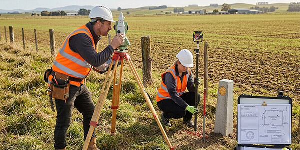
Licensed and cadastral surveying can include title re-establishment, boundary definition, easement surveys, subdivision support and cadastral requirements associated with infrastructure projects. These services provide the legal spatial framework required where construction, acquisition or design interacts with property boundaries and title interests.
Feature and topographic surveys capture the physical site: terrain, structures, roads, visible services, vegetation and other relevant features. Data can be prepared for engineering design, planning, CAD, 12d and wider modelling environments.
For infrastructure clients, land surveying can be integrated with engineering survey, project control and digital workflows so that cadastral and physical survey information forms part of the wider project spatial environment.