
Efficient aerial capture for mapping, progress, quantities and site intelligence.
UAV surveying provides a fast and highly visual method of capturing large construction sites, corridors and earthworks areas. When integrated with appropriate survey control, aerial datasets can provide useful engineering information rather than simply site photography.
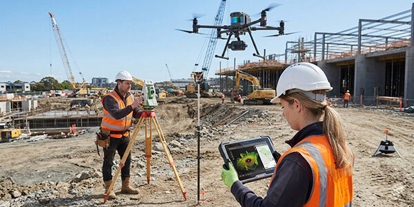
2Spatial can use UAV capture to document construction progress, produce orthophotography, generate point clouds and surfaces, calculate stockpile or earthworks volumes and provide broader site context to project teams. Repeat flights can create a consistent record of how a project changes over time.
Aerial capture is particularly valuable where conventional ground survey would require significant time or repeated access across active work areas. It can improve coverage and reduce the amount of time personnel need to spend moving through parts of a live construction site.
The required accuracy, ground control, capture methodology and output are determined by the intended use. Deliverables can then be integrated with CAD, 12d, GIS or other project workflows.